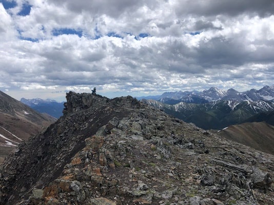
Mount Lipsett is a relatively easy hike in Kananaskis Country with great views at the top.
No scramble is required to summit Mount Lipsett.
I hiked Mount Lipsett at the end of June and there was still a bit of snow but nothing serious.
My initial plan was to hike Mist Mountain but I didn’t have the right directions and decided to hike Mount Lipsett instead after spending one hour in the thick forest trying to find the trailhead.
I wasn’t disappointed with views at the summit and beautiful alpine meadows with wildflowers along the way.
How to Get to Mount Lipsett?
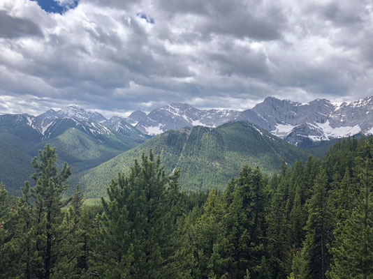
Mount Lipsett is located on Highway 40 (Kananaskis Trail) next to Mist Mountain.
This section of Highway 40 is closed from December to the middle of June.
If you are driving from north of Calgary, take TransCanada West highway all the way to Highway 40.
The exit onto highway 40 will be on your right across from Stoney Nakoda Casino.
Follow Highway 40 for around 72 km until you see a parking area on your left.
The trailhead is 6 km south of the Mount Lipsett day-use area.
If you are traveling from south of Calgary, take highway 22 and then 541 from Longview.
The trailhead will be around 4.5 km north from Mist Creek day-use area on your right.
I took highway 541 and really enjoyed it.
There was no traffic at all and the views were spectacular.
Hiking Mount Lipsett
The trailhead starts from the middle of the parking area.
There is a sign there warning about the bears.
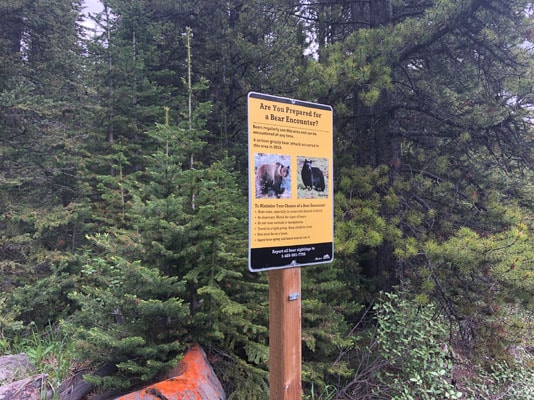
However, there is no map or even a sign that says that you are at Mount Lipsett.
I personally still don’t get it why Parks don’t put signs at the beginning of each trail.
This would prevent a lot of confusion, especially in places with no cell signal.
The trail is an old mining road and it is pretty easy to follow all the way to the top.
There is a small junction a few hundred meters from the start of the trail.
Go left there. The right trail leads to Mist Mountain if you cross the creek.
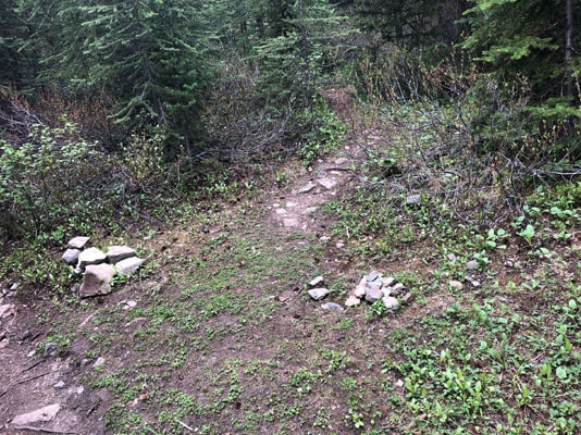
When I did the hike, I didn’t realize that I had to cross the creek to get to Mist Mountain and that’s how I got lost and ended up hiking Lipsett instead.
When I hiked at the end of June the trail was pretty muddy for the first 1 km but then it gets much better.
It is not a hard hike with a very gradual increase in elevation however it is pretty long because of all the switchbacks around Mount Lipsett.
As you get higher, you will start seeing alpine meadows with beautiful wildflowers.
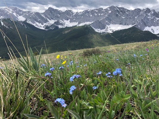
There are a few great spots to have a small picnic and enjoy views of the nearby mountains on your way to the top.
If you go a little further, you will see the summit of Mount Lipsett.
It gets pretty windy as you start to approach the summit and it might be worth bringing a jacket even if you are hiking in the middle of the summer.
The views from the top are stunning and it is usually not busy at the summit.
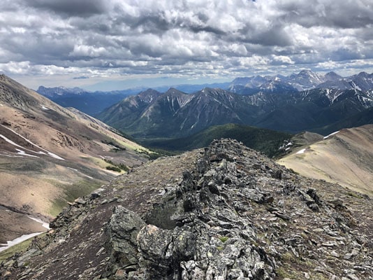
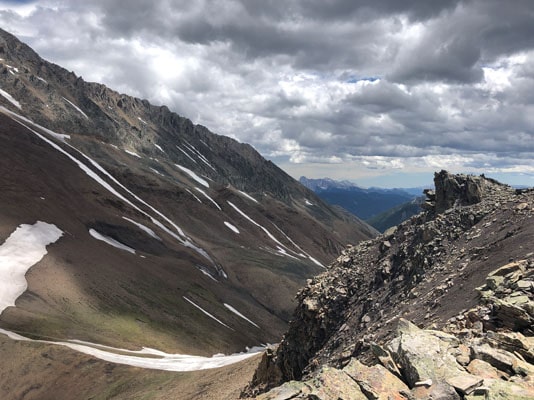
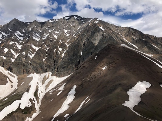
You will see a ridge of Mist Mountain on the left when you face highway which makes Mount Lipsett appear a little smaller than it actually is.
As in many places in Kananaskis Country, there is no reception on Mount Lipsett except closer to the summit.
Which is a little surprising but can be handy if you want to update your Instagram with photos from the summit and make everyone jealous.
I also saw horse tracks along the trail all the way to the top so it looks like you can ride a horse there as well.
Are There Are Any Bears at Mount Lipsett?
Based on what I heard from other hikers there are a lot of bears in the area so take your bear spray and hike in groups if possible.
I personally didn’t encounter any bears but it is highly likely that they were there and I just didn’t see them.
Did you know that your internet service provider can track your online activity? Want to hide your identity online and keep your browsing habits private? Try NordVPN!
*This post might contain affiliate links. If you click on a link, I might receive a small commission.

